Willow Creek
Geocache
State
Geocache is Located:
Colorado
Latitude:
40 degrees 47.765 minutes North
Longitude: 104
degrees 27.480 minutes West
Elevation: 5,130
feet
Map Datum: WGS
84
GPS
used to take readings:
Garmin
eTrex Venture
Date
Geocache put in place: June 14, 2003
Distance
to nearest paved road: Approximately 17 miles
Distance to nearest road accessible
by vehicle: 0.46 miles (according to GPS)
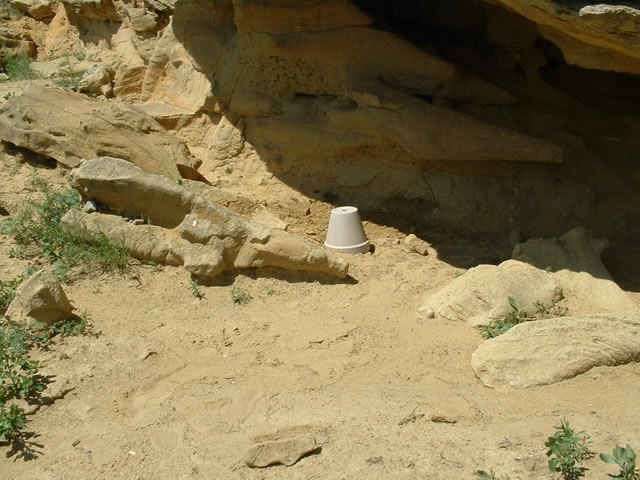
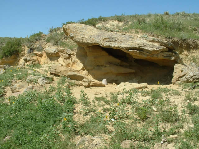
General
comments about the Geocache Site: This is
probably the toughest of the easy caches I will place and
the most remote. It is out in the middle of nowhere. Unlike
most of the geocaches I will place, 4-wheel drive is not required
to get to the site. However, a short wheel-based car at minimum
is required. According to my GPS, the straight-line distance
from where I parked and the cache is 0.46 miles. However,
due to the terrain and such, the hike to the geocache ends
up being approximately 3/4 mile or so. As you can see from
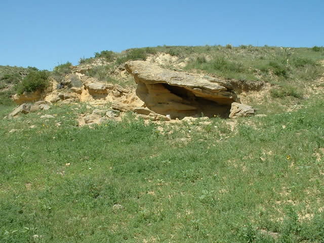
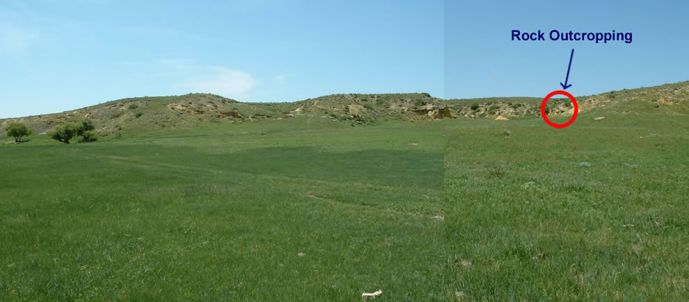
the pics below, the geocache is in a small side arroyo.
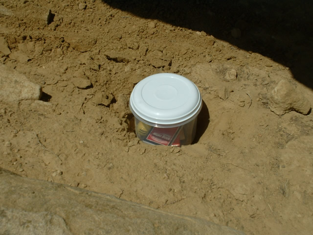
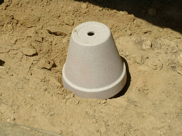
The geocache that I placed was
a slight departure from the normal
homemade geocaches that I place. This geocache
was simply a small round tupperware container placed under
an 8 inch flower pot. Due to the open terrain, I wanted a
simple geocache I could place and this is what I settled on.
I have left a notepad with pencil
and several items in the geocache. If you bring something
to leave in the cache, make it a small item. The container
is approximately 7 inches in diameter and tall. If you find
the geocache, send me an email.
I'd love to hear about your journey.
CAUTION!
CAUTION! CAUTION! CAUTION! CAUTION!
A few precautions are
in order- wear good hiking shoes as cactus is everywhere
and watch out for the Western
Diamondback Rattlesnake!
I didn't see any on this trip, but over the years
I have seen many rattlers out in this country. Also,
bring sunscreen, a hat and plenty of water. Shade
in practically non-existent. This is not meant to
frighten you, but if you look for this geocache, watch
where you are going! Walk slowly and constantly
scan the ground in front of you. 'Nuff said.
|
|